The Best Hiking Trails in Silver City, New Mexico
An insider’s guide to southern New Mexico’s hiking paradise
Welcome to Silver City Trails!
An insider’s guide to southern New Mexico’s hiking paradise.
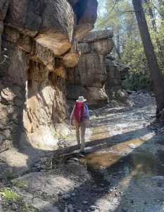
Elevation and isolation are what makes Silver City the #1 hiking destination in southern New Mexico. Silver City sits astride the Continental Divide and next to six major mountain ranges: the Pinos Altos Range, the Black Range, the Mogollon Mountains, the Big and Little Burro Mountains, and the Silver City Range.
With peaks ranging from 6000 to 9000 feet, all within a half hour’s drive of downtown Silver City, you can hike comfortably almost any day of the year. Our Gila Hikers hiking group opts for well-shaded hikes above 7000′ in the summer, with full sun hike at less than 6000′ in the cooler months.
Silver City was the first town to be designated as a Gateway Community by the Continental Divide Trail (CDT) Coalition. It’s an important hub for this major national recreational trail. Many of our most popular local trails are connectors to branches of the CDT system, including the Main CDT Route and the Gila River Alternate.
Despite the wealth of excellent hiking options, trails in the Gila Wilderness and the Gila National Forest are remarkably uncrowded. We’re just a bit too far off the beaten path to attract all but the most dedicated outdoor enthusiasts, many of whom eventually choose to settle in Silver City.
Silver City Trails provides detailed, up-to-date, accurate descriptions of the best moderate hiking trails within a 30-minute drive from Silver City, New Mexico, including driving directions, gpx tracks, recent photos and links to additional resources.
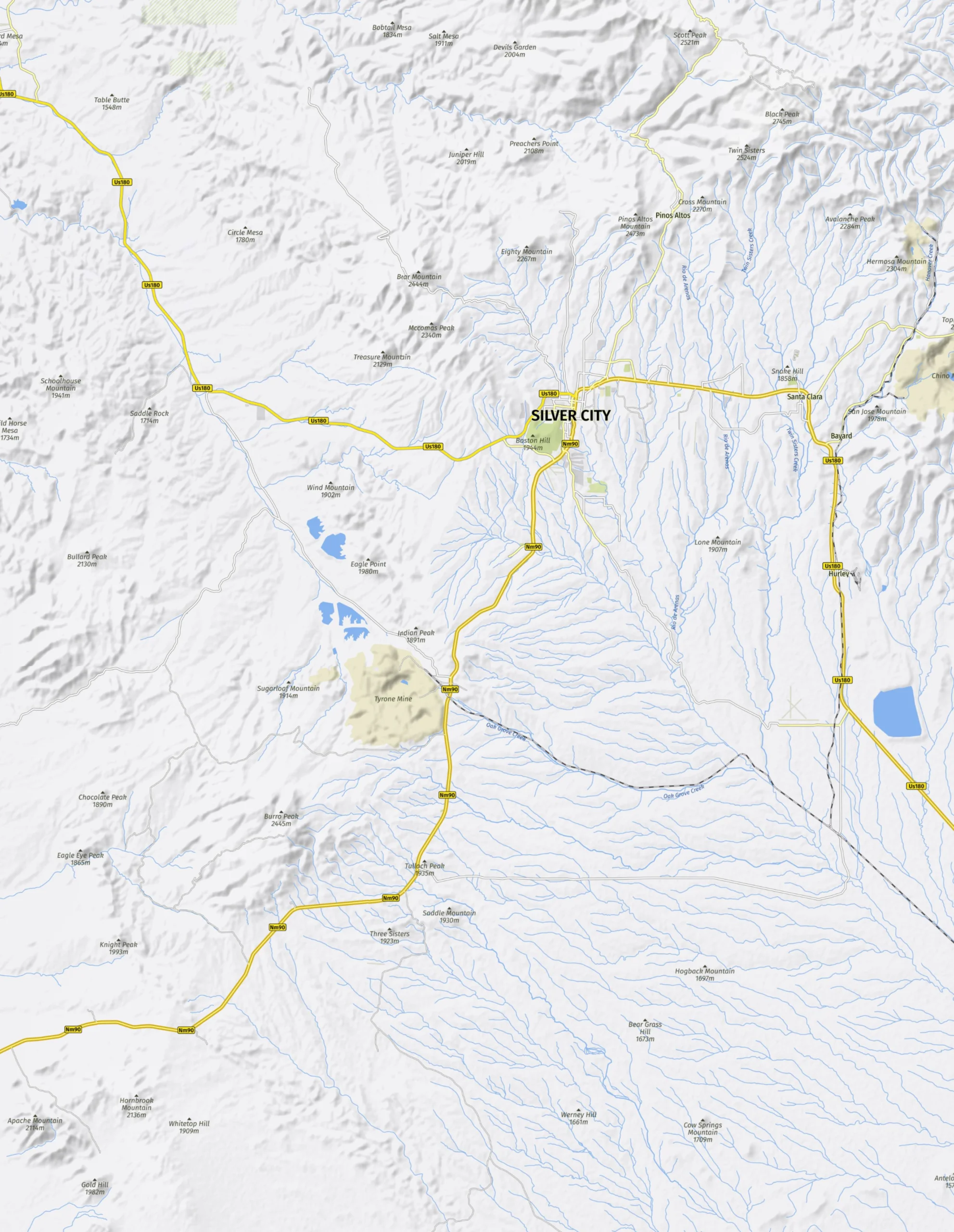
To find your trail, click any pin on the map to search for the best hikes by location, or select the trail name from the list below.
Happy trails!
Search by Trail Location
Trails within a 30-minute drive from Silver City, New Mexico. Hover over the pin to view the trail name and a link to the trail description.

Search by Trail Name
- Arenas Valley Loop
- Boston Hill Trail System
- CDT North from Little Walnut
- CDT North Loop
- CDT Bear Mountain to Walnut Creek
- Cherry Creek
- Deadman Canyon
- Fort Bayard/Dragonfly
- Jaybird Canyon
- Little Cherry Creek
- Little Walnut Trail System
- McComas Peak
- McMillan Canyon
- Meadow Creek
- Neglected Mine Loop
- Quartz Mountain
- San Vicente Creek
- Signal Peak
- Signal Peak to Black Peak
- Tadpole Ridge
- Twin Sisters
- Willow Creek/Maverick Canyon
- Woodhaul Wagon Road